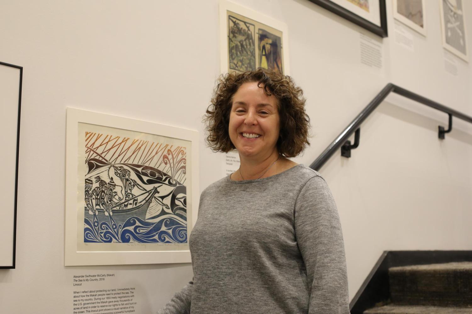
"Protect This Land" Exhibit in Earth Sciences & Map Library

The Jerry Crail Johnson Earth Sciences & Map Library is unveiling a new exhibit. “Protect This Land: Making Change Through Visualization” showcases a range of western maps alongside works by notable artists and student creations.
The Earth Sciences & Map Library’s involvement in the “Documenting Change” campus-wide program further illustrates how visualization and observation strategies are shared by artists and scientific disciplines to record, study, and communicate the impacts of climate change. The branch’s involvement with the program stems back to its beginning in 2017.
The “Protect This Land” exhibit features both print work and photography, as well as maps that depict the relationship between art and science. Exhibit curator Naomi Heiser said the decision to juxtapose early maps with contemporary prints takes the conversation around the intermingling of art and science to a deeper level.
Naomi Heiser curated this exhibit for the Earth Sciences & Map Library.
“Maps are typically scientific constructions or are seen as such, so pairing them with art methods of various types opens up room to re-examine maps as visual objects,” said Heiser. “Maps are particularly well situated to bridge the areas of science and art.”
The core of the exhibit is the prints from multiple artists, many of them coming from a portfolio curated by CU Boulder Printmaking Professor Melanie Yazzie. She said that “Protect This Land” is another way to have meaningful conversations around traditions that could spark a newfound understanding among viewers and even evoke change.
“There are a lot of different ways in which our lands, not just indigenous lands but all of our lands, are under attack and we're not thinking about the seven generations ahead of us,” said Yazzie.
In addition to the portfolio works from Professor Yazzie and the maps on display are images from local photographer Christopher Brown, several student works were created special to this exhibit. Many of them tie back to events that captured media attention such as the fate of Bears Ears National Monument.
Several students created custom work for this exhibit. M.F.A. Printmaking student Samantha Bares, M.F.A. Printmaking student Alanna Lacey, and senior B.F.A. Art student Haley Takahashi contributed pieces tied to Bears Ears National Monument and received Grand Challenge funds through the university for their involvement.
"The Fish That Saved the San Juan," by Haley Takahashi.
Graduate student Dakota Nanton received his B.F.A. in Printmaking from CU Boulder and continues to work closely with Professor Yazzie. His work in the show is entitled “Earth, Air, Fire, Water, Man,” and depicts the devastating effects man can have on nature.
“It is my hope that people will think about the impact that consumerism has on the world and that even little choices at the fuel tank and at the supermarket can have extreme consequences in the long run,” said Nanton.
The “Protect This Land” exhibit is one of many ways the Earth Sciences & Map Library welcome collaboration across disciplines in their space. Professor Yazzie gifted three portfolios on geography, climate, lands, and environment to the branch library. They are available for viewing and integration in classroom curriculums that range in topics.
There will be a reception for “Protect This Land” on Friday, May 17 at the Earth Sciences & Map Library in Benson from 12 p.m. to 2 p.m. The exhibit will remain on display through December 2019. The 18 prints featured in the show are a permanent gift to the Earth Sciences & Map Library from Professor Yazzie.
For more information, visit: www.colorado.edu/libraries/events/exhibits/protect-land-making-change-through-visualization

