GeoLibrary Connects Colorado Through GIS Data

This fall, the University Libraries have officially launched a new collection of geographic information system (GIS) data highlighting the natural and cultural features of Colorado.
The Colorado GeoLibrary, the Libraries’ new site for accessing and discovering geospatial data the state, is a data set goldmine, fit for your GIS and mapping project needs.
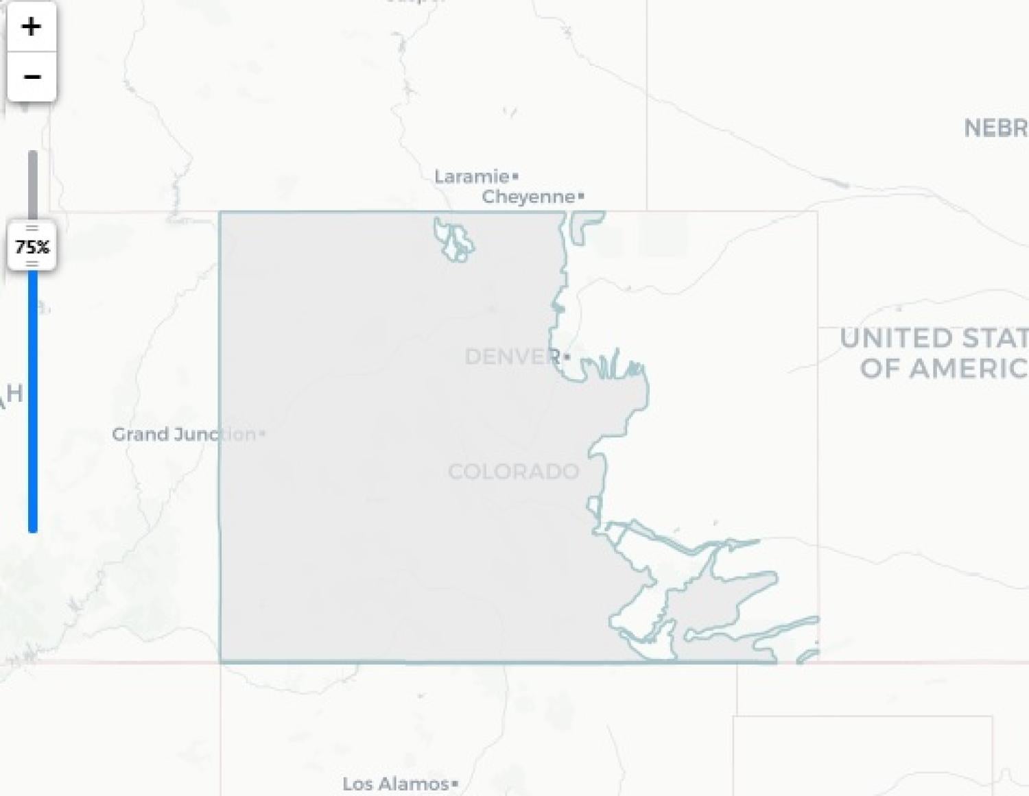
Using the search bar at the top of the page, type in a keyword, click “Search this,” and all of our data related to that keyword will show up on the results page. Each link will take you to a robust description of the data and a visual preview that data on an area map.
The GeoLibrary’s data collection has everything from roads to rivers to wildlife that can be used for projects across disciplines.
Imagine you’re a geology student that needs to create a map. You might search for “geology” and find geologic or soil data layers. Alternatively, someone studying politics or one of the social sciences might search for census boundaries to begin a demographic mapping project.
The Colorado GeoLibrary supports the University of Colorado Boulder’s overall mission of supporting research and student learning and providing a public service of making information available to the public.
“It’s helpful for people around the state not just in our institution, but hopefully students and researchers will start to use it for their work,” said Earth Sciences and Environment Librarian Phil White.
The public has access to the GeoLibrary as well.
“Anyone can use it for their research and their mapping projects,” White said. “It’s the place to go for GIS data.”
For over two years, White spearheaded the project. Researchers from the Sciences, CRDDS, ODSS, LIT, Metadata, and Administration also played key roles in making the site work.
Metadata Librarian Erik Radio, Metadata Coordinator Katie Fletcher, former Metadata Coordinator Helen Baer, and Digital Library Software Architect Mark Stacy were responsible for building the GeoLibrary, uploading data sets, making the data discoverable for users.
“I think this work is so important because a lot of time and resources go into making these datasets, and we want to make sure we are describing them to the best of our ability and for varied audiences,” said Radio.
White confirmed that the collection continues to be a work-in-progress.
“We will continue adding layers and seeking out a diversity of information to include in the collection,” he said.
The GeoLibrary also ensures that data sets important to Colorado’s history and present have a sustainable future.

